Oklahoma as a fantasy map
A downloadable map
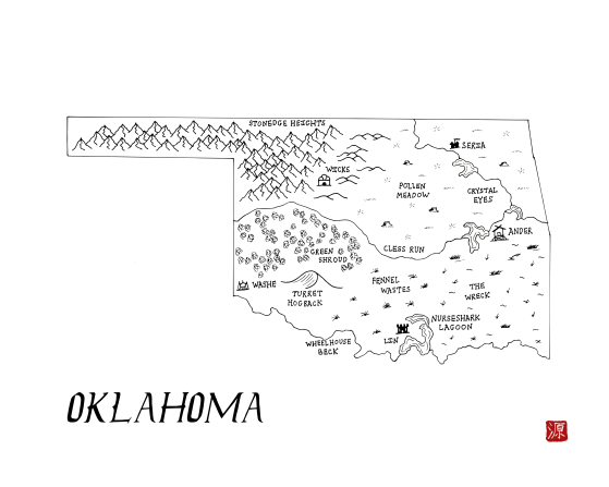
The state of Oklahoma reimagined as a fantasy map. This map is part of the Integral States Project, an art series that encourages reflection about the actual, pre-colonial history of these landscapes as well as the indigenous peoples who called them home. Proceeds benefit native charities.
You’re very welcome to snag a free copy. Please rate if you like it to help others find these. Thanks!
Project website: https://integralstatesproject.com.
The Dry line, a line which separates the desert air to the west from the humid air in the east runs through present-day Oklahoma. These different climes resulted in agrarian communities settling in the eastern part of the region and greater reliance upon hunting and gathering on the western half. The Osage and Caddo lived in the eastern half of the state while the Numunuu (“the people” or Comanche) and Apache tribes lived in the western half. The name of the state derives from the Choctaw words that mean “red” and “people.” Peoples from throughout the continent were forcibly removed to the territory before the Civil War, often with great loss of life. Then in the 1880s, settlers once again invaded native land, with a United States federal court ruling that settling on lands promised to tribal nations by treaty did not violate the law. More recently, the 2020 McGirt v. Oklahoma Supreme Court case vindicated some native land rights over half of the state.
Download
Click download now to get access to the following files:


Leave a comment
Log in with itch.io to leave a comment.