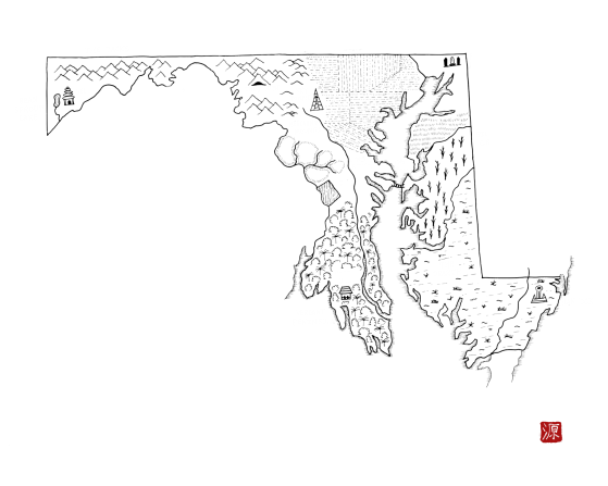
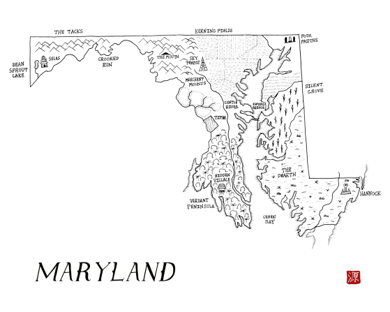
Maryland as a fantasy map
A downloadable map
The state of Maryland reimagined as a fantasy map. This map is part of the Integral States Project, an art series that encourages reflection about the actual, pre-colonial history of these landscapes as well as the indigenous peoples who called them home. Proceeds benefit native charities.
You’re very welcome to snag a free copy. Please rate if you like it to help others find these. Thanks! Prints are available at: https://www.redbubble.com/people/aldayuan
Project website: https://integralstatesproject.com.
The area that is now Maryland has been settled since the end of the last ice age. A variety of Algonquian and Iroquoian speaking peoples lived in the region including the Tuscarora (“hemp gatherers), Nanticoke, and Piscataway. The Tuscarora emerged around the Great Lakes but gradually moved south into what is now the Carolinas. The Nanticoke lived along the shores of the Chesapeake Bay and were allied with the Powhatan Confederacy in what is now Virginia. The Piscataway lived primarily on the north bank of the Potomac River in permeant settlements that mostly consisted of homes surrounded by a wall. When Iroquoian peoples started to move south, the Piscataway villages banded together for mutual protection, creating more hierarchy and establishing a ruler called the Tayac.
Download
Click download now to get access to the following files:
Leave a comment
Log in with itch.io to leave a comment.